Land Use
The Land Use Plan is important because it outlines what purposes a given area of land in our neighborhood can be used for. For example, looking around West Indy, you can see examples of residential use (our homes), community spaces (our parks), commercial (restaurants and stores), and industry (factories and trucking).
To get a better understanding of what a Land Use Plan is, why it’s important, and how the process works, check out this series of short videos by the People’s Planning Academy (PPA) from Indianapolis Neighborhood Resource Center (INRC) and DMD.
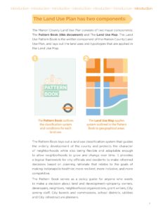
You can read the most current West Indy Land Use Plan (2011) here. The West Indy Land Use Plan is part of the City’s overall Comprehensive Plan for Indianapolis and Marion County. The Pattern Book gives explanations of different types of neighborhood uses.
DMD’s draft of the Comprehensive Plan is expected in early 2024, and adoption is expected by the end of 2024.
Keep an eye out for opportunities to make your voice heard during this important process! If you would like to be on WINC’s Land Use Committee, please contact us at winc@westindy.org.


